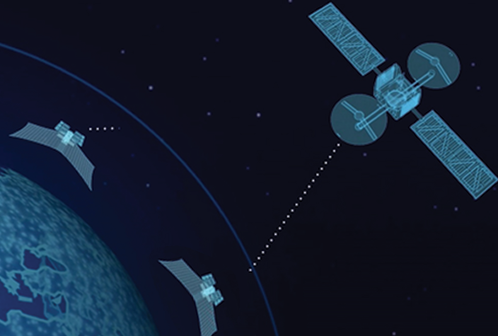
We capture the highest resolution Earth imagery available in Qatar and provide the data in the form you need to gain an edge.
The GIS application is on the rise, capturing new user segments from various economic sectors, realizing the gains from the integration of location/spatial analytics in their planning and workflows.
Geospatial applications driven by AI are aiding end to end solutions in e-governance initiatives, Engineering and Construction industry, BFSI sector, precision farming, disaster management, retail & logistics, navigation, etc.