
Successfully delivering the highest resolution imagery and data resources
Scope of Work
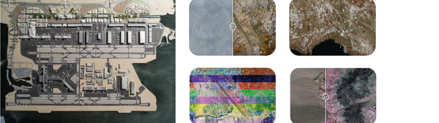
High resolution satellite imagery
• Change detection
• GIS base map operation and update
• Work Progress monitoring
• Monitor the reclamation progress and environment effect
Benefits
• A better decision making and planning in support of the Sustainable Development Goals
• Many more